
Linea Architecture
LiDAR Scans to BIM Models
LiDAR Scans to BIM Models turns 3D laser scan data into accurate, usable BIM models. We capture the building as a point cloud, register the scan data, and model the as-built geometry so project teams can design, coordinate, and plan construction with confidence.
What are LiDAR scans to BIM models?
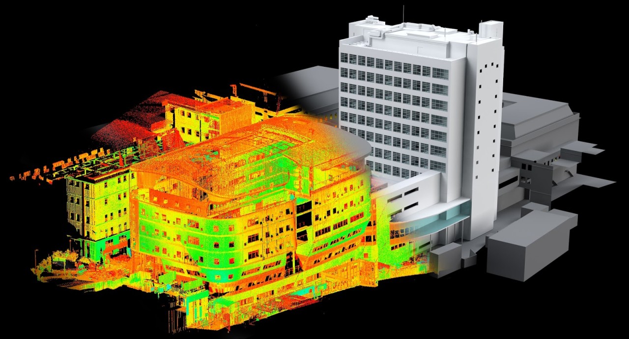
LiDAR Scans to BIM Models is a workflow where a building is scanned using a 3D laser scanner, producing a dense point cloud of existing conditions. That point cloud is then converted into a BIM model aligned to the agreed level of detail (LOD) and deliverable requirements.
Where LiDAR to BIM helps most
If you’re dealing with old buildings, missing drawings, or complex service areas, LiDAR scans provide a solid base. The BIM model then becomes the working file for design, coordination, and construction decisions.

Benefits of LiDAR scans to BIM models
With LiDAR, you get reality-based data. With BIM, you get a structured model your team can actually use. Put together, LiDAR Scans to BIM Models reduces surprises and improves coordination.
Accurate existing conditions from point clouds
The point cloud captures real geometry, helping the BIM model align closely to what’s on site.

Faster planning with fewer site return visits
Dense scan data reduces missing measurements and supports faster design decisions.
Better coordination
Coordinate around real geometry in tight or complex areas.
Lower risk
Fewer clashes and less rework during construction.
Safer capture
Reduce time spent accessing hazardous areas during surveys.
LiDAR scans to BIM models process
From scan capture to point cloud to BIM model delivery.
1) LiDAR scanning (site capture)
We scan the site and capture point cloud data for the agreed areas and scope.
2) Registration + QA
Scan stations are aligned, cleaned, and checked for reliable modelling.
3) BIM modelling (as-built)
We convert the point cloud into a BIM model based on your LOD and deliverable needs.
4) Delivery + support
You receive your LiDAR-to-BIM outputs, with support for coordination or revisions if required.
LiDAR scans to BIM models examples
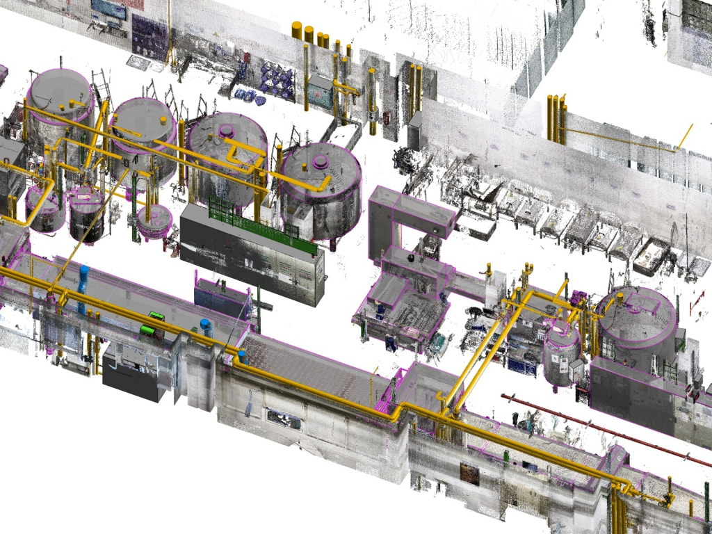
A quick preview using your project imagery.
Learn more about LiDAR scanning and BIM
Useful references for standards and background reading:
Request LiDAR scans to BIM models
Share the site location, approximate size, and what you need delivered (point cloud, as-built BIM model, LOD). We’ll respond with a clear scope and quote.
